


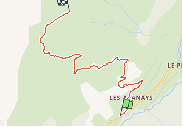

11.9 km | 19.7 km-effort


User


FREE GPS app for hiking
 SityTrail
IGN / Geographical institutes
SityTrail World
The world is yours!
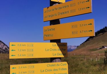
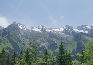
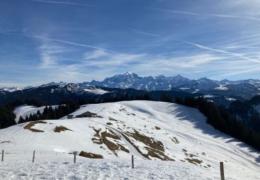
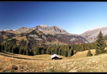
Trail Walking of 4.1 km to be discovered at Auvergne-Rhône-Alpes, Savoy, La Giettaz. This trail is proposed by tracegps.
Départ de la route du plan chez albertvillage (location d'appartement, ca se situe à mi-chemin entre La Giettaz et Le Plan ..). Prendre la route de la mouille jusqu'à la mouille, puis La Bouerne, le Megevan, route de plan bourgeois, pr à prendre à gauche le plan bourgeois, et continuez vous arrivez à notre dame des alpages. Vous êtes à 1852m vous avez parcourue 4,6 km avec un dénivelé positif de 621m.


Walking

Walking

Snowshoes

Other activity

Motor
Walking
Walking
Snowshoes
Walking